
The Warwickshire Tithe Map and Tithe Apportionment is a rich primary source that allows us to identify each dwelling or plot of land in Oldnall End in 1839, along with its owner and occupier.

What was the Tithe Apportionment?
The payment of tithes was an ancient system whereby occupiers of land gave one-tenth of their produce to their local church. By the 19th century, much land previously owned by the Church had passed into the hands of private landlords, who continued to receive tithes.
In 1836 the British Government passed the Tithe Commutation Act, which allowed owners and occupiers of land to pay their tithes with money rather than the more traditional crops or livestock. In order for land to be valued, each parish was surveyed and a Tithe Map prepared, showing the owner, occupier, area and state of cultivation of each plot of land.
The Tithe Apportionment in Berkswell
The Tithe survey of Berkswell, carried out by Thomas Smith Woolley of Nottinghamshire and valued by John Harris of Birmingham, was confirmed by the Land Commission on 10 April 1839.
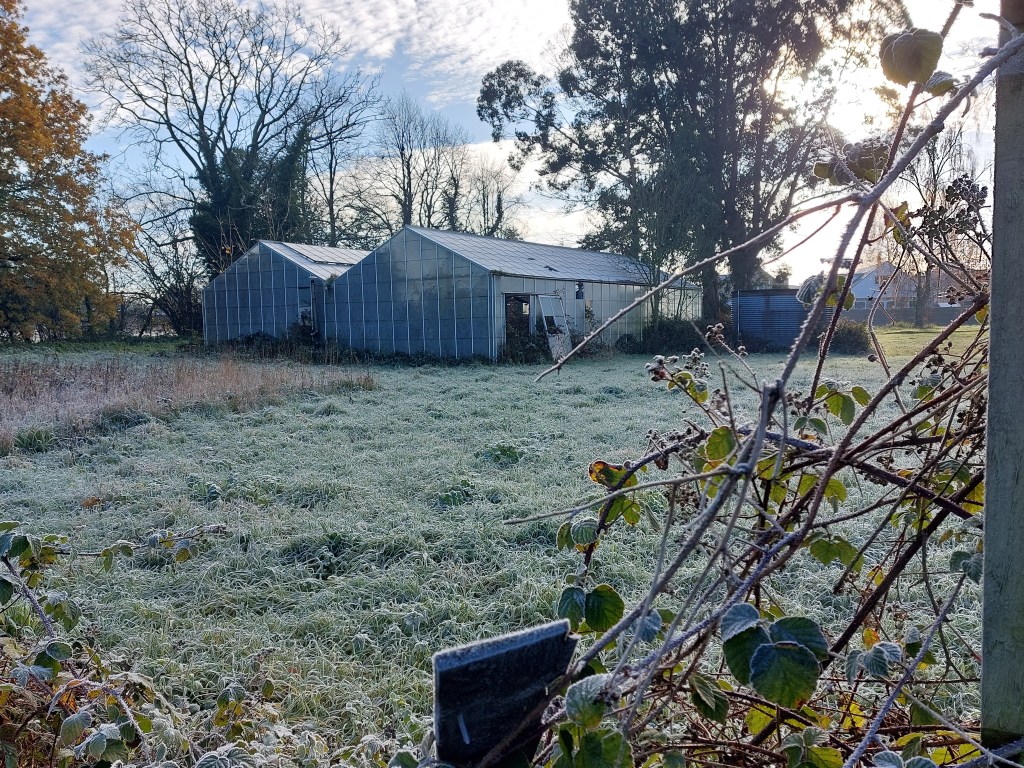
This map shows the ownership and occupation of Oldnall End’s houses and land at the time of the 1839 Tithe Apportionment. Click on a marker to find the name of the plot, its area (in acres, roods, and perches), its state of cultivation (e.g. arable, pasture, etc.), and the names of the owner/occupier. Some entries even have photographs so you can see what the plot looks like today!
Want to find out more?
Click here to see a list of Oldnall End properties in 1839.
Warwickshire County Record Office hosts a database with transcripts of the Tithe Apportionment books for the whole of Warwickshire.
The Tithe Maps themselves can be seen and/or purchased at the County Record Office or (with a subscription) at The Genealogist.
