
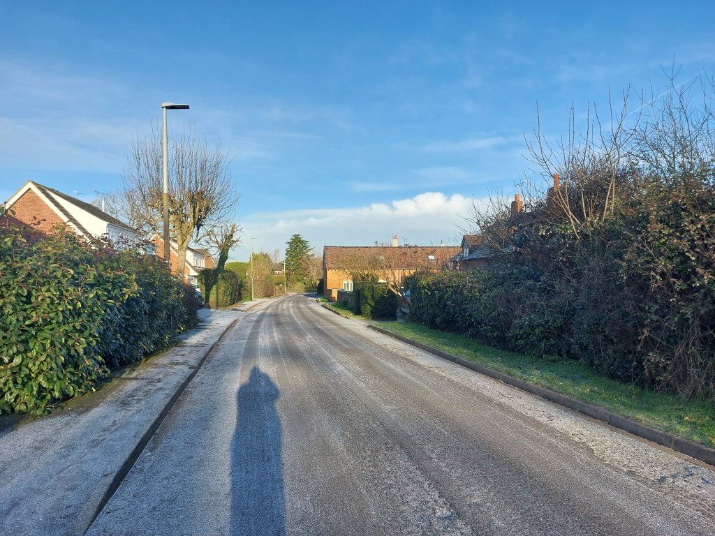
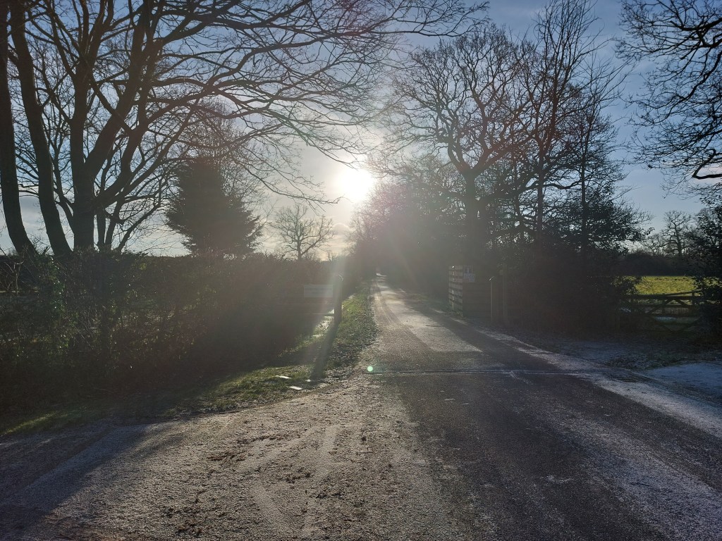
Join me on a walk down Barretts Lane, a portal to the ancient network of farms, fields and footpaths that made up the lost hamlet of Oldnall End.
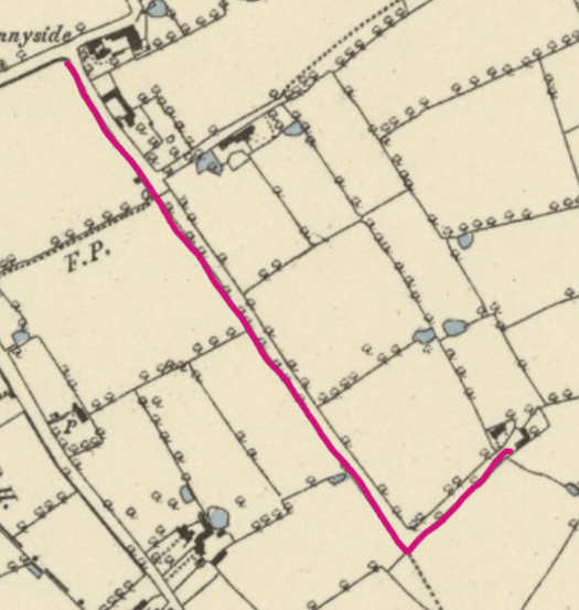
Barretts Lane is one of the oldest tracks in Berkswell Parish. Historically part of the ancient hamlet of Oldnall End, today it belongs to the village of Balsall Common. Marked in pink on the maps below, it runs south from the junction with Sunnyside Lane, taking a sharp left turn to finish at Barretts Lane farm. Both farm and lane are named for Catherine Thompson Barrett (1753-1827), who owned Sunnyside House and many of the surrounding fields.

We begin at the junction with Sunnyside Lane. Look south along Barretts lane and to your right you will see a row of seven modern detached houses, built in the late seventies and marketed as ‘delightfully different New French Homes’.[1] They were built on Home Close, a huge pasture of almost five acres that belonged to Sunnyside House. As its name suggests, ‘Home Close’ was the closest field to the farmhouse; indeed, in 1686 it was simply known as ‘the field before the door’.
Meadow Barn to L
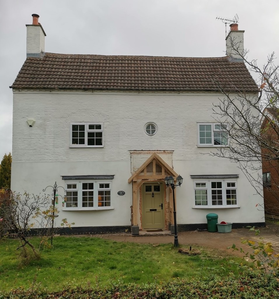
Looking to your left, you will see the white-painted façade of Sunnyside House, built in 1732 by Berkswell carpenter William Thompson. Sunnyside was constructed on the site of a much older house, which belonged in the 17th century to Job Potter, a Yeoman of the Guard to King Charles II. By 1732, the ancient timber building was in poor repair, and so the new owners commissioned the 3-storey brick house you see today. During the 18th and 19th centuries, Sunnyside had many identities, going from working farm to murder site (!), retirement project, investment property, grace and favour house, commuter residence and then back to a farm. The estate’s fields and farm buildings, including a large timber-framed barn behind the house, survived until 1956, when they were sold off by the Roman Catholic church.
Next to Sunnyside House is the modern bungalow Wychelm, constructed in 1974 on the site of an ancient cottage. In the late 17th century when Job Potter’s distant relative Thomas Byfield lived there, the cottage had three rooms (a hall, buttery and ‘over chamber’ or upstairs room) and just one hearth. For much of its history, the cottage was an adjunct to Sunnyside House, either as home to the farm’s labourers or, by the mid-19th century, as a washhouse and servants’ quarters. When Sunnyside House became a commuter residence in the 1890s, the cottage became the farmhouse, home for many years to the Rushton family who are remembered in the name of nearby Rushton Close.
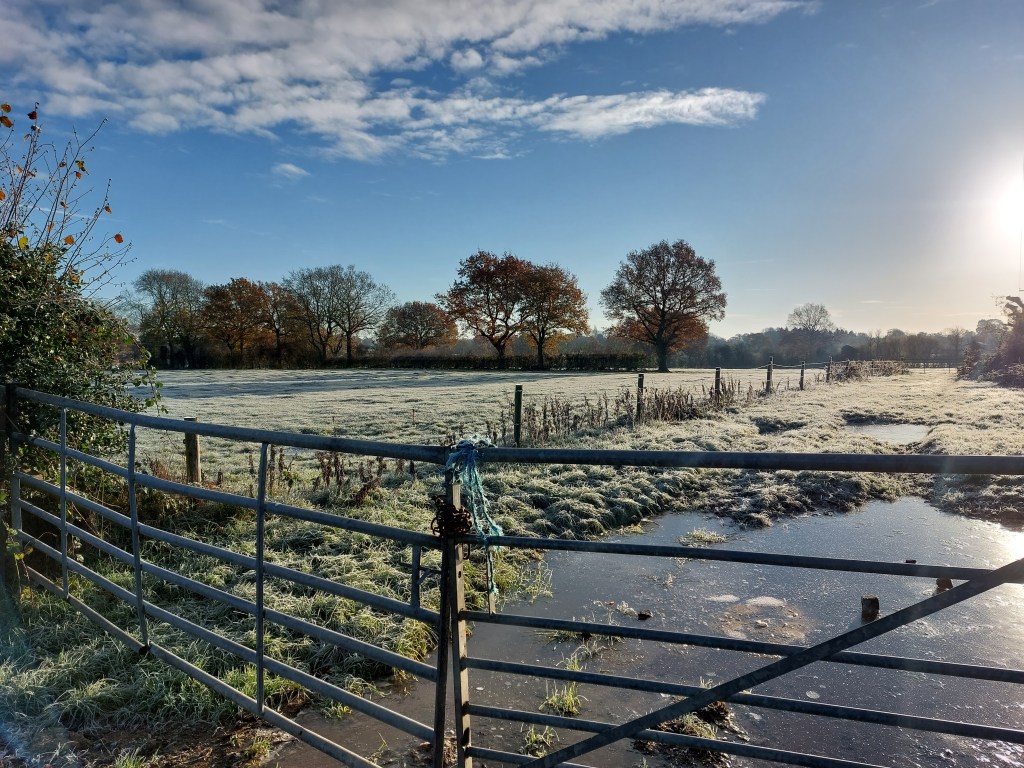
Beyond Wychelm are Sunnyside Farmhouse and its former stables, recently converted into a dwelling called Meadow Barn. Sunnyside Farmhouse is an early cottage with modern extensions; unlike its neighbour Sunnyside House, it was a working farm for most of its history. The farm’s 28-acre estate stretched out behind the house; you can access it through the kissing gate just past the house, which takes you into House Close. If you follow the footpath down the hill, the first three fields you pass through and those to each side once belonged to Sunnyside farmhouse.

If you continue along Barretts Lane past the kissing gate, you will see the entrance to Grade II listed Pool Orchard.[2] Now the largest of the historic properties on the lane, it was once a tiny cottage with an estate of just 10 acres that stretched out to the south, following the line of Barratts Lane. However, Pool Orchard did not always stand alone. The long thin field on the far side of the house (a detached portion of the Sunnyside House estate, visible from the footpath through House Close) was named in 1686 as a ‘little croft, called Burnt Close because the cottage thereon has burnt down;’ the name ‘Burnt Close’ survived into the 19th century.
Opposite the entrance to Pool Orchard, you will see a wooden gate leading to a field, marked on maps today as Meeting House Lane Park. This field belonged to Sunnyside House for around 300 years and was once known as Kendall Field. When Job Potter died in 1686, he bequeathed £1 10s of the field’s annual profits ‘to be distributed amongst the poor of Berkswell upon St Thomas’s Day’ (21 December). By the 19th century the name had changed to Jury Field, but ‘Potter’s Gift’ was still paid annually to the parish until 1851.[3] Jury Field has been owned by the Roman Catholic church since 1945.
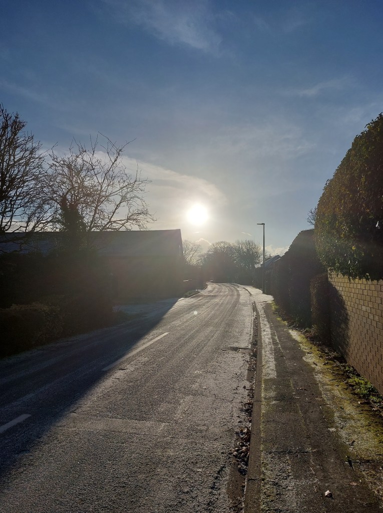
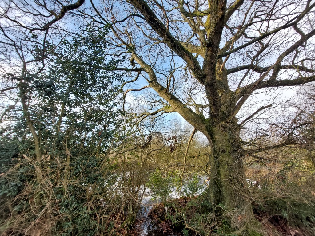
Passing Pool Orchard and the gate to Jury Field, the lane transforms from a suburban residential road to a quiet tree-lined track. The fields you can see on your left (in 1839, Sharp Close, Lane Close and Lower close) were once part of Pool Orchard’s estate, along with the lane you are walking along. The land you can glimpse through the trees on your right (Further Lane Close and Barn Field) belonged to a farm in Meeting House Lane, owned in 1839 by Henry Hyatt Bates and his sister Mary Ann Bates.

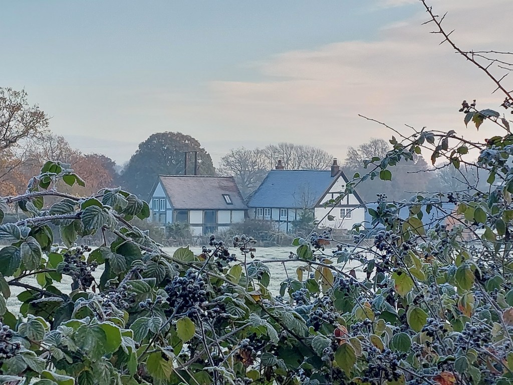
At the bottom, the lane turns sharply left around Lower Close. Looking along the lane to the left, you will see Barretts Lane Farm and its barn, both Grade II-listed.[4] The farm with its original 15-acre estate has also been known as Old Farm, Hole Farm and Dockers in the Hole and it has changed many lives since 1693, when John Whitehead left the cottage and estate to the Berkswell churchwardens, instructing them to use £4 10s of its annual income to start one poor Berkswell child a year in an apprenticeship.[5] The estate remained in the ownership of Berkswell Charities into the 20th century, but the farm buildings have recently been developed into a private residential estate.
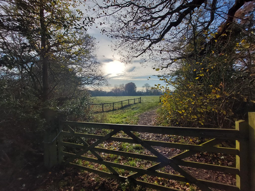
From the corner of the lane, you can either retrace your footsteps back to Sunnyside Lane and the 21st century or continue through the kissing gate into the Lingey Fields, to join up with the network of footpaths that will take you deeper into Oldnall End.
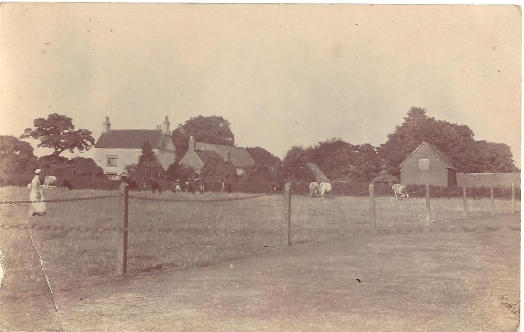
White chimneys of Sunnyside House just visible R of centre; Barretts Farm to R
[1] ‘the french house ltd’ [sic], Coventry Evening Telegraph, 29 Jun. 1978: 54.
[2] ‘Pool Orchard’. Historic England. ID 1343233. https://historicengland.org.uk/listing/the-list/list-entry/1343233: accessed 23 May 2023.
[3] ‘County of Warwick, Reports,’ Parliamentary Papers. Reports from Commissioners: Charities: 29th Report. Session 19 February-10 September 1835. Vol. XXI. Part II: 1103. https://www.google.co.uk/books/edition/Parliamentary_Papers/QEsSAAAAYAAJ?hl=en&gbpv=1 : accessed 23 May 2023; Berkswell Churchwardens Book of Accounts, Warwickshire County Record Office CR 2766/4, p. 42.
[4] ‘Barratts Lane Farmhouse’. Historic England ID 1045801. https://historicengland.org.uk/listing/the-list/list-entry/1045801 : accessed 23 May 2023; ‘Barn at Barratts Lane Barn.’ Historic England ID 1075970. https://historicengland.org.uk/listing/the-list/list-entry/1075970 : accessed 23 May 2023.
[5] ‘Parishes: Berkswell.’ In LF Salzman, ed. A History of the County of Warwick: Volume 4, Hemlingford Hundred. London: Victoria County History, 1947: 27-34. https://www.british-history.ac.uk/vch/warks/vol4/pp27-34#p68 : accessed 24 May 2023; ‘County of Warwick, Reports,’ Parliamentary Papers. Reports from Commissioners: Charities: 29th Report. Session 19 February-10 September 1835. Vol. XXI. Part II: 1104.

[…] Who was Mr Moe? Well, this is the exciting part! He was the father of Catherine’s (first) mother in law, Elizabeth (Moe) Paynter. Elizabeth’s parents William and Mary (Love) Moe died in Berkswell in 1761 and 1762; I haven’t yet found a will for either of them, but it seems likely they left their property to their daughter Elizabeth. When she died in 1777, she left her property to her only son, John Paynter. When he died in around 1785, he left his property to his wife Catherine and their only daughter, Mary Paynter. So the ‘heirs’ named on the Land Tax are first Elizabeth, then John, then Catherine and Mary. The change of ownership to the Readers in 1810 fits with what we know about the Barratts, who sold off much of their inherited Berkswell property in 1810, retaining only Sunnyside House, on today’s Barratt’s Lane. […]
LikeLike
[…] journey as I traced the footsteps of my predecessors through Oldnall End’s fields and along its historic lanes. As I said then, it’s a bittersweet moment to be engaged in a project like this, as HS2 […]
LikeLike